This article was supported by Pulitzer Center’s Artificial Intelligence Accountability Network.
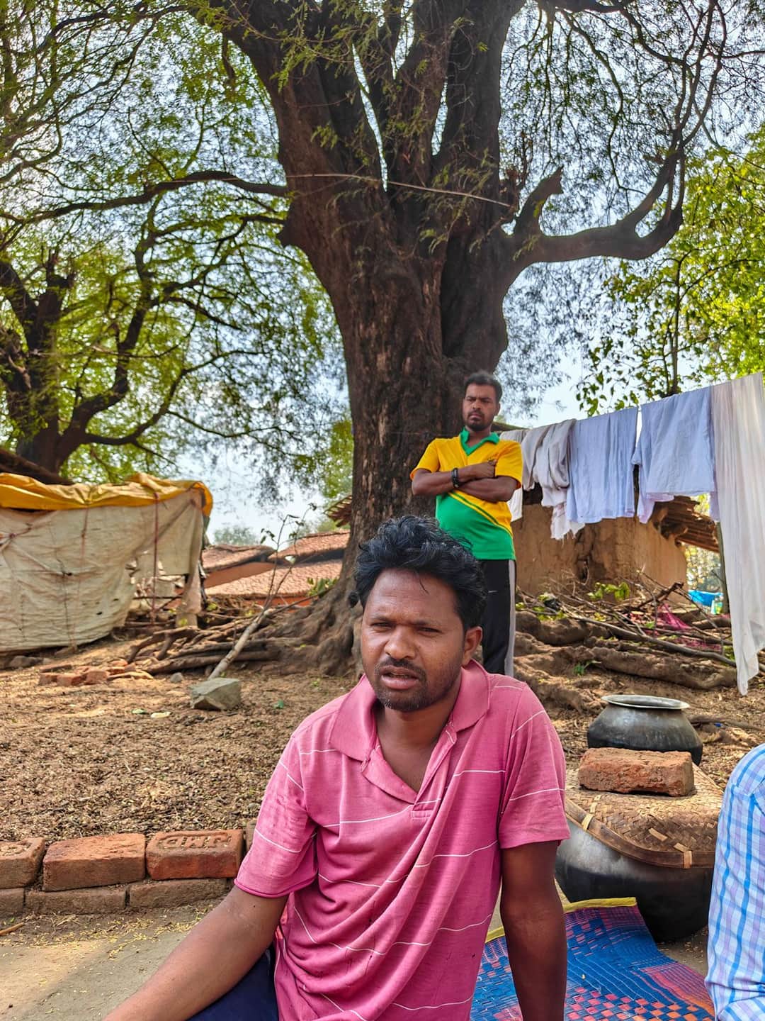
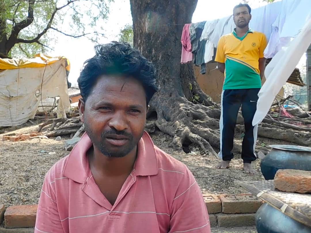
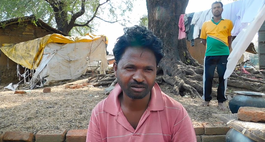
In the eastern Indian state of Jharkhand, Basingh Munda stands in a field ringed by commemorative plaques honouring his ancestors. Generations ago, those forefathers joined the 1899 Munda uprising led by revered tribal leader Birsa Munda against colonial rulers’ alienation of indigenous people.
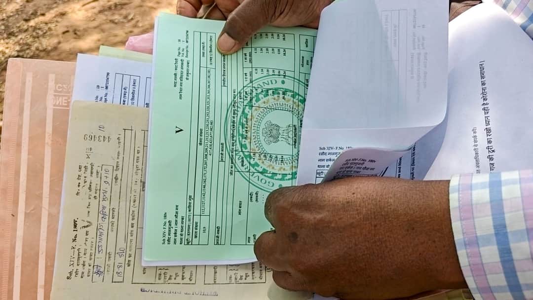
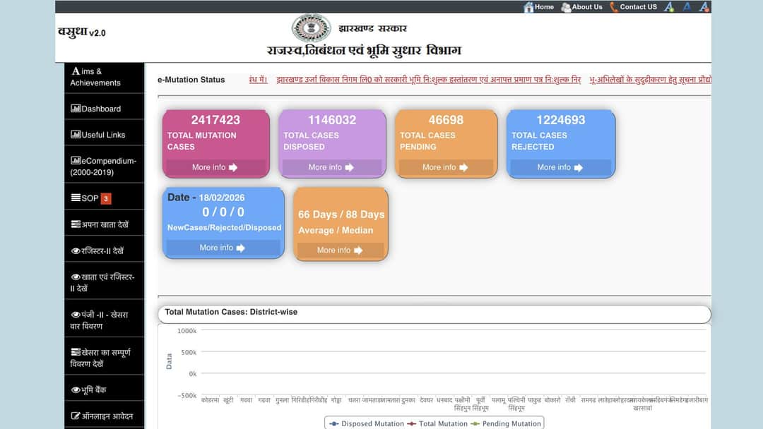
Over a century later, Adivasi farmers like Basingh, in his forties and belonging to the Munda tribe, face a new form of dispossession. Over the past eight years, the government has digitised their land records, without their consent and without notifying them. In the process, hundreds of farmers have found their land holdings suddenly shrinking in official documents, their boundaries shifting, and ownership quietly slipping away.
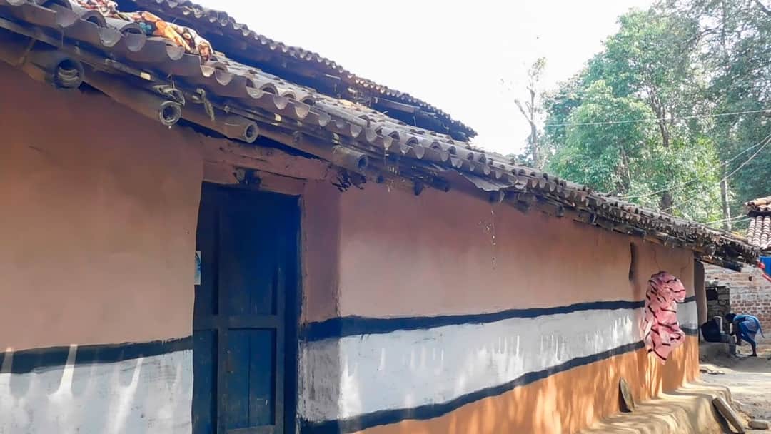
It is April, and spring flowers bloom all along the road to Daragama in Khunti district, 33 kilometres from state capital Ranchi. Just days after the Sarhul festival, an indigenous celebration of nature, the local market is bustling with activity.
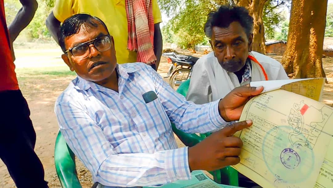
In a clearing outside their homes, Basingh and several others gather in the shade of palash (flame of the forest) and peepul trees, chatting in Mundari, their language.
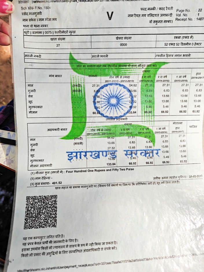
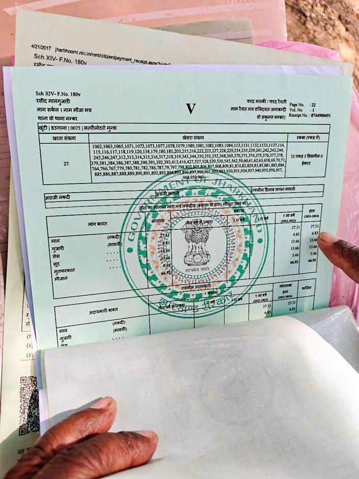
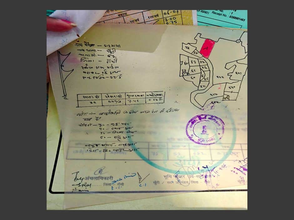
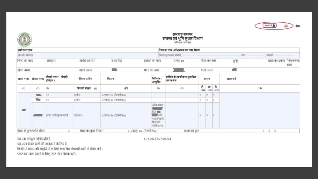
In 2023, Basingh received an online tax receipt from the land and revenue department office in Khunti, located 20 kilometres away. The land owned by Basingh and his brothers, on which the family grows paddy and millets, was recorded incorrectly in the receipt as 52 acres and 5 dismil, instead of 52 acres and 52 dismil.
A dismil is a land measurement unit common in central and eastern India, equivalent to 435.6 square feet, or one hundredth of an acre, the word itself coming from ‘decimal’. One dismil is thus the size of an average one-bedroom apartment in Mumbai, and Basingh’s land holding shrunk in official records, overnight and without warning, by 47 dismil.
Basingh was not alone.
“There were many manipulations in the land records. Before digitisation, the rakba [acreage] of our khata [tracts of land collectively owned by one group] was different. In recent online records and receipts, some plots have been removed, and the rakba has been reduced,” Basingh says. Not notified when their land records are digitised, landowners often catch mistakes inadvertently, he adds.