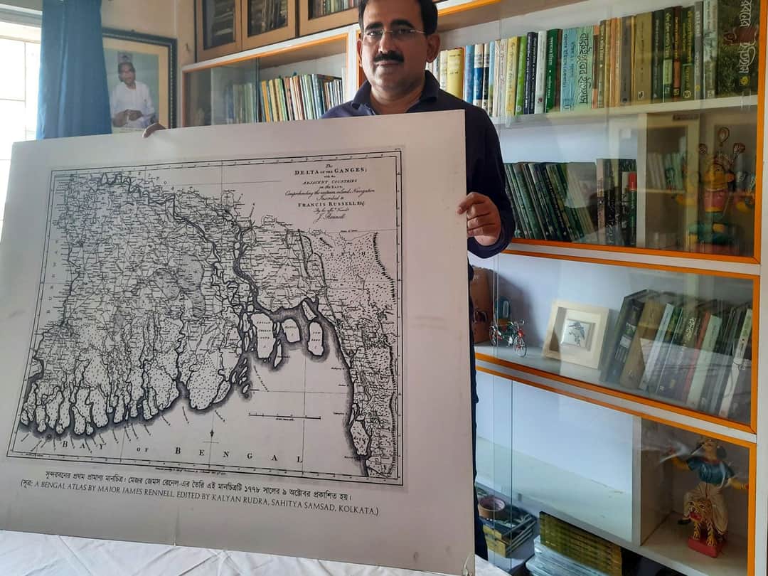
It’s a Sunday morning, but Jyotirindra Narayan Lahiri is busy. In a corner room of his apartment in Hooghly district, the 50-year-old is poring over the first map of the Sundarbans prepared by Major James Rennel in 1778.
“This is the first authentic map of the Sundarbans based on a survey by the British. This map shows mangroves extending right up to Kolkata. So much has changed since then,” Lahiri says, his finger tracing the map. Straddling both India and Bangladesh, the Sundarbans, the site of the world’s largest mangroves, is known for its immense biodiversity and, of course, the Royal Bengal Tiger (Panthera tigris).
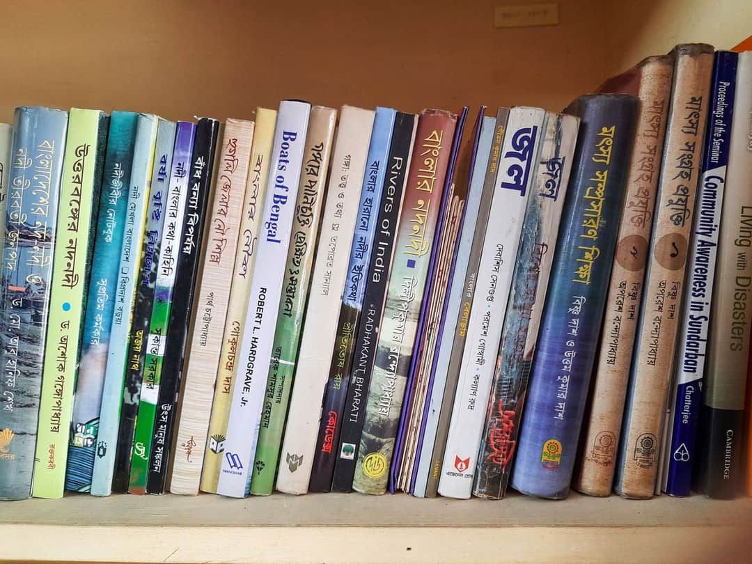
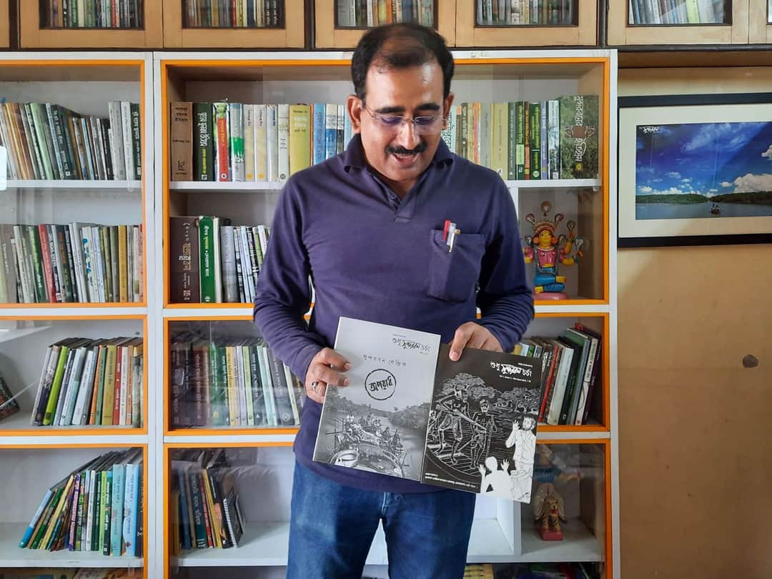
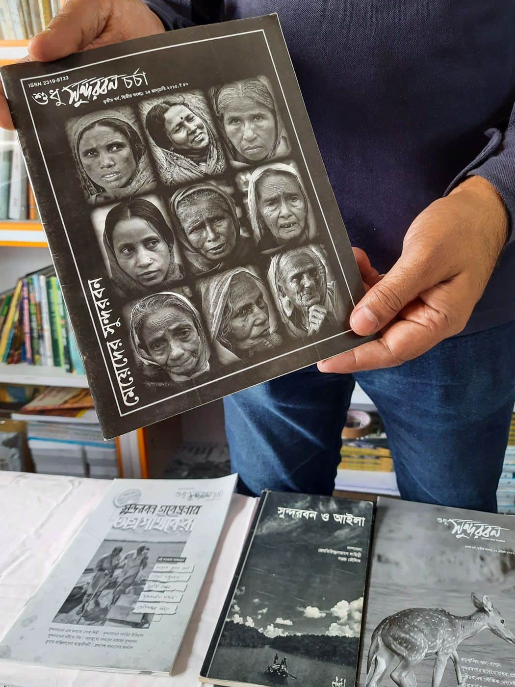
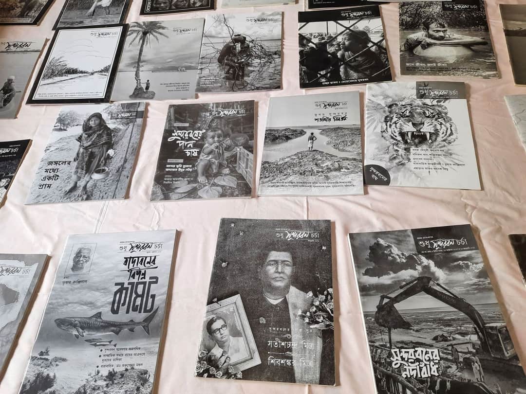
The bookcases lining the walls of his room are packed with hundreds of titles on every conceivable subject about the Sundarbans – flora, fauna, daily life, maps, atlases, and children’s books in English and Bengali. This is where he researches and plans issues of Sudhu Sundarban Charcha, a quarterly publication about the Sundarbans that he started after Cyclone Aila left a trail of devastation in the region in 2009.
“I made repeated trips to see the condition of the area. It was frightening,’’ he recalls. “Children were out of school, people had lost their homes, masses of men had migrated, and everything was left to the women to take care of. The people’s fate entirely depended on whether the river embankments would stay in place or collapse.”
Lahiri found media reports on the disaster sparse and superficial. “The media recycles stereotypes about the Sundarbans. Typically, you will find accounts of tiger attacks or rain. When it isn’t raining or flooded, the Sundarbans is rarely in the news,” he says. “Disaster, wildlife and tourism – that is the sum of what interests the media.”